Kurikka's Deep Groundwater
Beneath the city of Kurikka lies a true treasure: vast reserves of deep groundwater. Thanks to this, the water needs of residents, agriculture, and industry can be secured for a long time. Estimates suggest that the water supply could sustainably secure the water needs of up to 150,000 people!
Research on deep groundwater began over a decade ago when geological studies revealed significant sand and gravel layers capable of storing this valuable resource. Pressurized groundwater was first detected in Kurikka as early as the 1940s.
The Deep Groundwater Project
A project has been launched to sustainably and responsibly utilize Kurikka’s deep groundwater resources. The goal of the project is to ensure a high-quality water supply for local residents and businesses while also promoting the region’s economic development.
The project employs modern technologies and systems for groundwater protection and utilization. Additionally, it serves as a significant source of employment in the area, creating new jobs and strengthening the local community.

Timeline of the project
Geological structural studies were conducted in the Aronlähde groundwater area, where researchers encountered thick layers of sand and gravel separated by moraine layers, located deep in a depression in the bedrock.
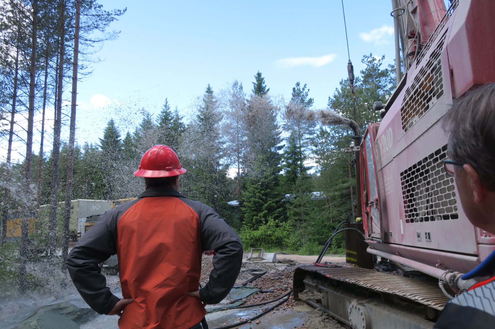
The structural study of Kuusistonloukko and the formation of the first artesian well. The well was formed when drilling hit thick layers of sand and gravel located deep in a valley in the bedrock, causing pressurized groundwater to burst to the surface.
The research expanded from the Kuusistonloukko area to the entire surrounding region.
Additionally, the groundwater resource was determined through test pumpings that lasted for 3 months.
Additionally, the groundwater resource was determined through test pumpings that lasted for 3 months.
Research of the soil structure and groundwater behavior across the entire study area. Along Paloluoma, the study began to examine the structure of the bedrock, its fractures, and the movement of groundwater through rock fissures.
Research of bedrock groundwater movements, structure, and fracturing in the western area of the Kyrönjoki River. At the same time, detailed soil structure studies are ongoing across the entire study area. Additionally, extensive research into groundwater geochemistry and isotopic composition has begun. Furthermore, work related to the EIA baseline study is underway throughout the entire study area.
Three-month-long test pumpings begins in the Kyrönjoki River area, from Mietaala to Harjankylä and the village of Viitala. A comprehensive 3D structural model of the soil in the study area will be created, and extensive groundwater chemistry studies will be conducted. The structure, fracturing and groundwater movements in bedrock fissures between Pitkämö and the Kyrönjoki River will be researched. The development of a numerical groundwater flow model began in the fall of 2023.
Future of the project
The Kurikka deep groundwater project aims to enhance the efficient and sustainable use of groundwater resources in the future by leveraging the latest technological innovations. One of its long-term goals is to expand water distribution to nearby municipalities, such as Vaasa.
Collaboration and Innovation
The project seeks to build a strong network of collaboration with various stakeholders, including researchers and industry experts. The objective is to develop increasingly innovative solutions for water treatment and environmental protection.
Vision and Impact
The vision of the Kurikka deep groundwater project is to be a pioneer in sustainable and responsible water usage. At the same time, the project aims to provide significant economic and social benefits to the local community, promoting regional well-being and development.
